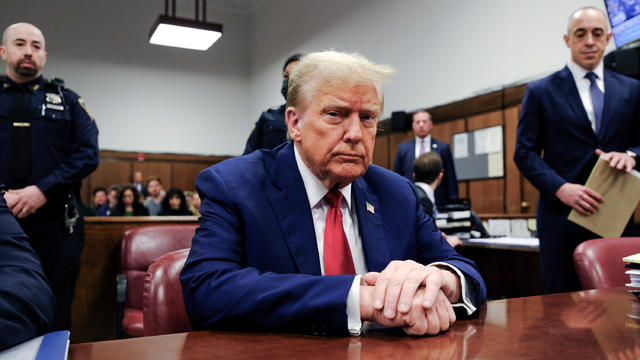
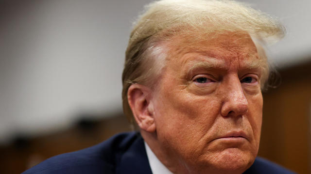
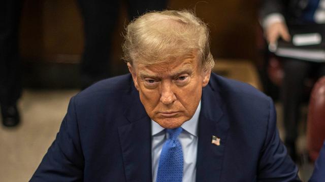
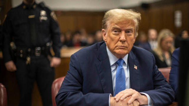
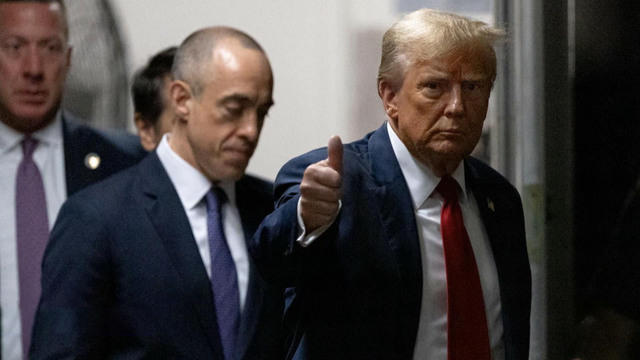
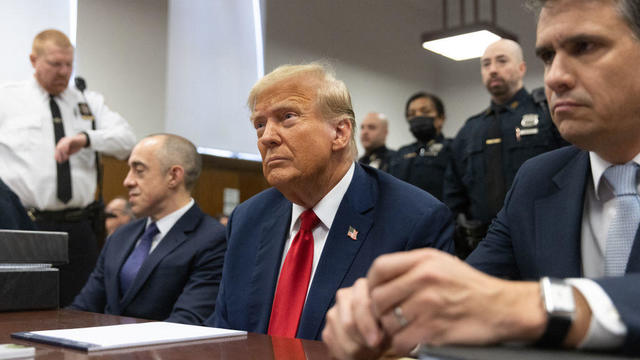
RENO, Nev. (AP) — Scientists studying earthquake faults in the mountains west of Lake Tahoe say new high-resolution imaging technology has uncovered more substantial seismic hazards than previously believed.
The U.S. Geological Survey says the steep, fault-formed range west of the lake could generate earthquakes with magnitudes from 6.3 to 6.9.
It also warns they could trigger landslides along the whole Tahoe-Sierra frontal fault zone stretching from west of Truckee Calif., to the south end of Tahoe — through the middle of Squaw Valley USA ski resort, Emerald Bay and Fallen Leaf Lake.
Researchers at the University of Nevada, Reno, Cal-Berkeley and Army Corps of Engineers helped with the new technology is known as bare-earth airborne LiDAR — Light Detection and Ranging.
It offers a look at tectonic activity obscured by vegetation.


Baseball Shots Of The Week –...
Best Summer Dishes
CBS 2013-2014 Prime Time Shows
Flash Forward: Concept Cars...
Baseball Shots Of The Week –...
Best Summer Festivals and...
Baseball Shots Of The Week –...
The Animal Foundation’s 10th...
Best Mexican Cuisine
Celebrities With Asthma
Baseball Shots Of The Week –...
Best Wedding Dress Styles For...
Baseball Shots Of The Week –...
NBA Cheerleaders – April 19,...
Famous Fans of Star Wars
NBA Team Recap – April 15,...